
Huangnan Tibetan Autonomous Prefecture
Name: Huangnan Tibetan Autonomous Prefecture (黄南藏族自治州)
Location: Huangnan is located in the southeast of Qinghai Province
Area: 18,800 sq. km. (7,259 sq. mi.)
Population: 212,500. Most people living here are ethnic groups, including Tibetan, Mongolian, Hui, Tu and so on, taking a proportion of 92.19 % and Tibetan make up of the the majority.
Geography and Climate:
At an elevation of 3,500 m. (11,483 ft.), Huangnan is situated in the plateau area of southern Qinghai. The average temperature here is 6.6 ℃ to 8.5 ℃ making this land an favorable field for agriculture. There are about 24 million hectare available grasslands and 302,200 hectare Arable lands for the people here to develop the agriculture.
Tourism Reserves:
Huangnan is abundant in natural resources and historical heritage, Which makes this land one of a tourism places in Qinghai. The most famous attraction is the Kampula National Forest Park, which is also a geo park famous for 18 peculiar peaks and natural scenic spots. At an elevation of 2,000 to 3,000 m, it is located in the joint of Qinghai Tibetan Plateau and Loess Plateau and is feature by its unique and gorgeous mountain scenery, caves, beautiful lakes and steep Cliffs. If you come here, you can boat on the lake and enjoy the fun of hiking and adventure, which will make your tour worthwhile.
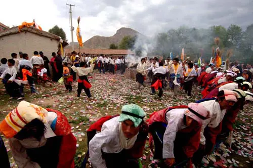
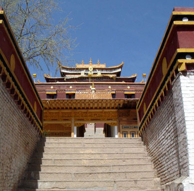
Other places include Longwu Temple, Rishi Inscription Wall, Sacred Lake and Fairy Hole and some other natural scenic spots. Huangnan is a prefecture worthy of a tour in Qinghai Province. If you are going to travel in Qinghai, savoring the natural wonders and local custom in Huangnan will surely add great fun to your tour.
Related tours


Join a 7-day Tibet culture tour from Lhasa to Gyantse and Shigatse. Explore Potala Palace, Jokhang, Gyantse Dzong, and Tashilhunpo Monastery. Enjoy Yamdrok Lake views, visit local families, and travel at a relaxed pace, ideal for families or seniors.


Join a 15 day Mount Kailash group tour with and Everest from Lhasa. Visit Potala Palace, Jokhang Temple, and Everest Base Camp before journeying to Lake Manasarovar and completing the sacred Kailash Kora trek with local Tibetan guides.


Experience Tibet’s culture and nature on this 6-day Lhasa Hiking & Nomad Experience Tour. Visit Lhasa’s landmarks, hike peaceful valleys, and visit a Tibetan nomad camp to learn about their traditional lifestyle on the plateau.

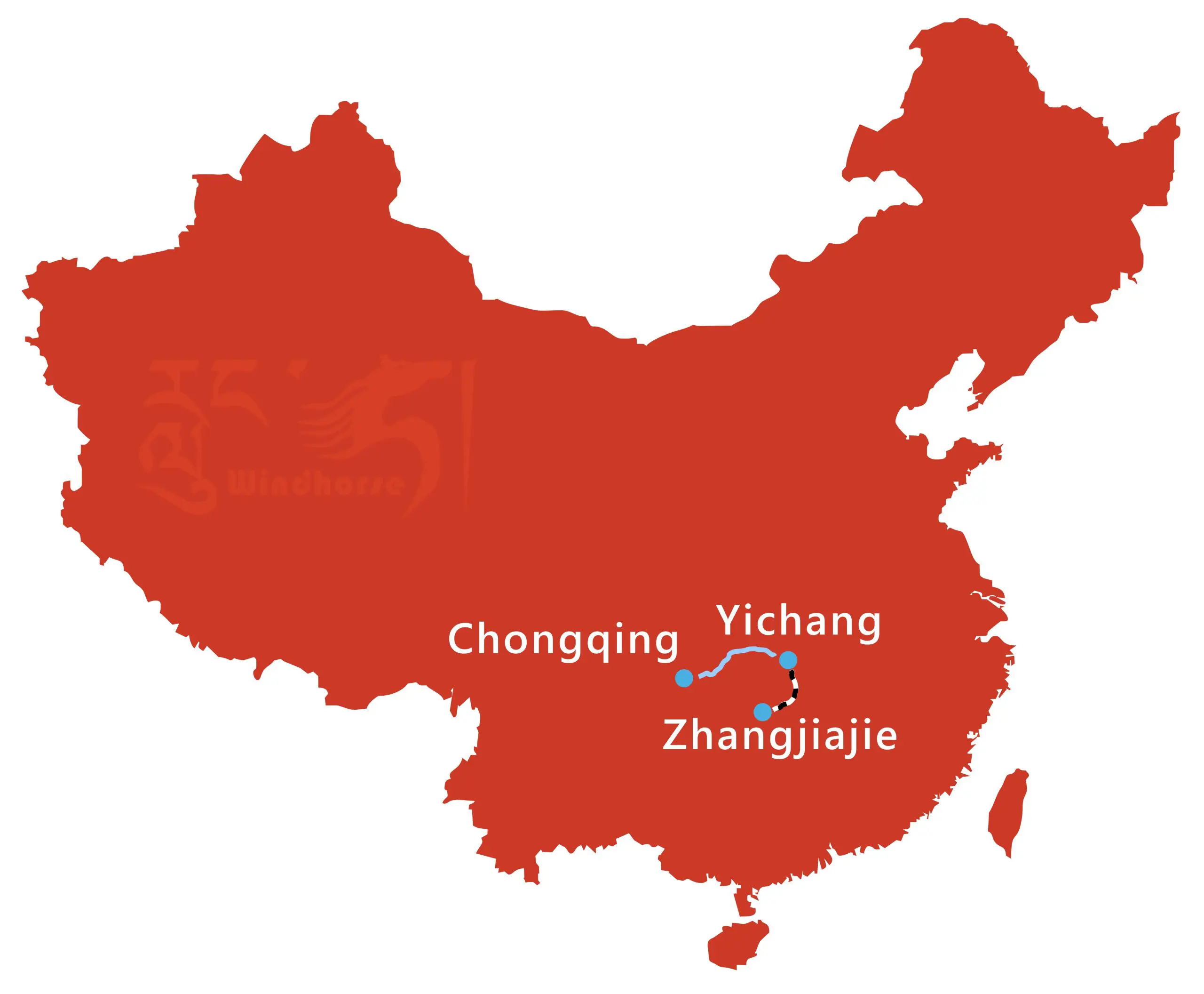


Experience an 8-day Chongqing Yangtze Cruise and Zhangjiajie Tour, combining a classic Three Gorges cruise from Chongqing to Yichang with Zhangjiajie’s top sites, including Yuanjiajie, Tianzi Mountain, the Glass Bridge, and Tianmen Mountain.