Qinghai - Tibet railway
Qinghai Tibet Railway, the world's highest railway, extends 1,956 km. (1,215 mi.) from Xining to Lhasa. About 960 km. (596 mi.) of the route is at over 4,000 m. (13,123 ft.) above sea level and the highest point is at 5,072 m. (16,640 ft.)

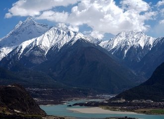
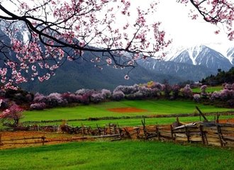
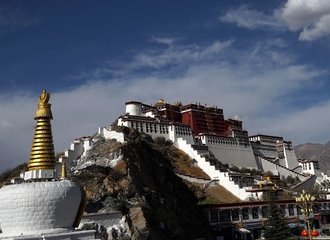
Taking a train ride along Qinghai Tibet Railway is one of the most popular ways for those who want to travel to Tibet. The scenery along the Railway are spectacular and majestic. 45 stations along the route provide travelers picturesque scenery and impressive vistas.
Among the 45 stations, nine are designated as sightseeing stations and have special sightseeing platforms for travelers to capture the marvelous landscapes. Famous sights include the Kunlun and Tanggula mountain ranges, Qinghai Lake, Tuotuo River, Grassland etc. Together with the rare wild animals will reward each traveler with remarkable memories.
The Qinghai Tibet Railway Route:

The following are a list of the popular attractions along the Qinghai Tibet Railway. No matter which station you board from, you will see all of these attractions.
Qinghai Lake and Bird Island
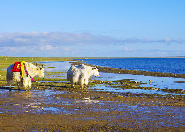
Qinghai Lake is one of the best attractions for travelers who have a short stay before they take the train in Xining. Situated at the east of Qinghai province, it is China's largest inland salt water lake, occupying an area of 4,456 sq. km. (1,720 sq. mi.) The ellipse-shaped lake looks like a huge popular leaf sitting on the alpine prairie. Scenery in Qinghai lake varies according to seasons. Summer and autumn are the most comfortable weather conditions and the lake's scenery is most beautiful during these seasons.
Standing at 3,200 m. (10,499 ft.) above sea level, the climate surrounding the lake is very cool, which is why it is often selected as a summer resort.
Bird Island is one of the most popular and interesting place on the western shore of Qinghai Lake. The island is a paradise for varieties of birds. The protection policy of the local government makes island has created a haven for the birds. Each March and April when the ice covering the Qinghai Tibet Plateau begins to melt, more than 20 kinds of migrating birds come to the island to breed. Flocks of birds cover the whole island and bird eggs can be found everywhere. Visitors can hear the birds songs from far away.
Chaerhan Salt Lakes (Chaka yanhu)
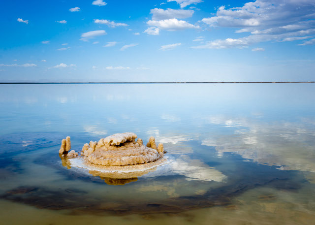
Located 750 km. (466 mi.) away from Xining, Chaerhan Salt Lakes were originally part of the ocean in primordial times and were formed during the intense crust activity that resulted in the formation of the largest plateau in the world, the Qinghai Tibet Plateau.
As the waters of this primordial soup receded, flowing into the nearby Indian and Pacific Oceans, depressions in the plateau retained water forming the region's famous lakes. There are a total of thirty lakes ranging from large to small. The largest named the Chaerhan Salt Lake (Chaerhan yanhu). The total surface area of the lake's are said to be around 105 square kilometers. (40 sq. mi.)
The highlight of the lakes are their reflective surfaces that mirror the passing clouds, the distant mountains and the nomad's tents and herds that can be found all around the area. Distinctive in this region is the salty smell that comes from anywhere near the lakes. The area is called a world of salt. Locals make a living from dredging the salt and from tourists related industry.
For those into hiking, a walk along the Salt Bridge that crosses the lakes and running a total of 60 km. (37 mi.), is an interesting experience as is a look into the salt house that can be found beside the main lake. The lakes are probably best seen as a side trip for those after an extensive camping or hiking experience.
Kunlun Mountains Pass
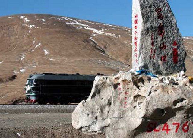
Kunlun Mountain is the first mountain range for the travelers who travel to Tibet from Xining. The first pass is situated 160 kilometers to the south of Golmud. As the train travel through the pass, the altitude rises abruptly from 2,800 m. (9,185 ft.) to 4,700 m. (15,420 ft.) and the temperature and air pressure drop accordingly.
Travelers will be suddenly transferred from hot summer to a severe winter with the magnificent snow white Kunlun surrounding them. Rare animals can be seen are leaping and skipping among the snow and the grassland, presenting a beautiful picture of nature. The pass, 4,767 m. (15,640 ft.) above sea level, is in the middle section of the mountain range. It is an obligatory section of the route between Qinghai and Tibet.
Tuotuo River and Tanggula Mountain Pass
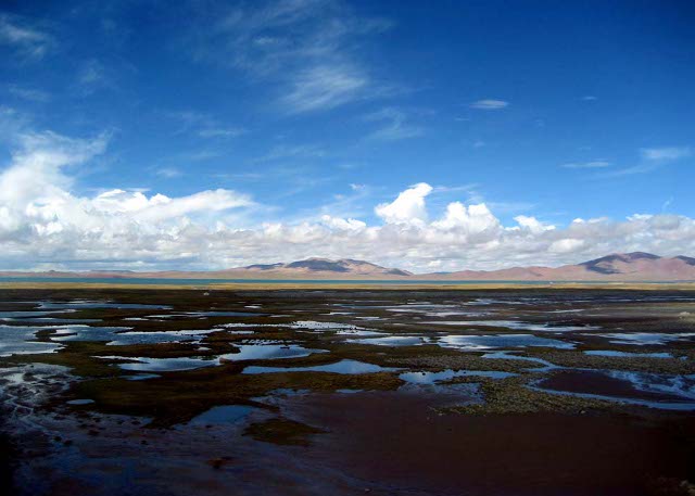
China's longest river-Yangtze river originates from the Tuotuo River. Natural scenery around this area is unique and amazing, with bamboo-shaped ice bars, ice-bridges. Icy lakes and other features of glacier physiognomy. After traveling about 203 km. (126 mi.) away from Tuotuo River Town, the train will arrive at the Tanggula Mountain Pass, the highest point along the railway with an elevation of 5,072 m. (16,640 ft.).
The Tanggula Mountain Pass is also the natural boundary between Qinghai and Tibet. There is a sightseeing platform in Tanggula Mountain Pass railway station for travelers to get the best sight of the the Tanggula Mountain.
Changtang Grassland
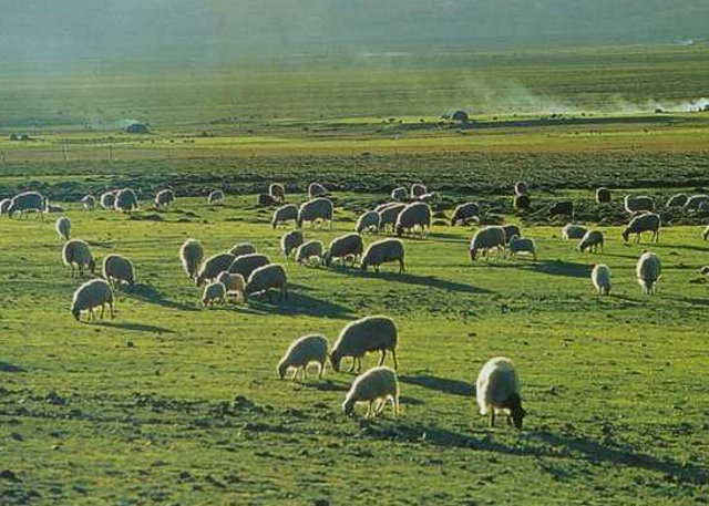
As one of the five biggest pastures in China, the Changtang Grassland is surrounded by the Kunlun, Tanggula, Kangdese and Nyainqentanglha mountains. The Changtang Grassland is a culturally rich land as well as a paradise for the wild animals and plants.
On the vast grassland, yaks, sheep and nomadic people's camps can be seen everywhere. And the colorful long-standing nomadic culture created by the nomadic people can be appreciated here. The vast fertile grassland always evoke an ambience of relaxing and refreshing. The regions' annual horse-racing festival is held in this grassland, when the whole community is converging here to celebrate their traditional festival.
Lake Namtso and Yampachen Hot Springs
Namtso means 'holy lake' in the Tibetan language. With a distance of over 30 km. (19 mi.) from north to south and over 70 km. (43 mi.) from east to west, Lake Namtso covers a total area of more than 1,900 square kilometers, being the second largest salt lake in China.
At an elevation of 4,718 m. (15,479 ft.), Namtso Lake is also the highest-altitude salt lake in the worldwith the deepest part being more than 33 meters (108 ft.). The water in the lake for the most part arises from rains, melted ice and snow of Nyenchen Tonglha Mountains and the inflow of crooks and streams, hence the lake is very clear and limpid. With the lake surface assuming sky blue, the lake and the sky seem to be one and undivided, which may make visitors feel themselves in a fairy land if they have a stroll by the lake.
Tibet boasts the most hot springs in China. Yambajan is world-famous for a spectacular phenomenon of hot springs boiling on the cold plateau. It features all kinds of hot springs including highest-temperature hot springs, boiling springs and geysers as well as common hot springs.


